SURVEYCTO IS A MOBILE DATA COLLECTION TOOL FOR AGRICULTURE
Measure crop areas, track farmer beneficiaries, and ensure data privacy
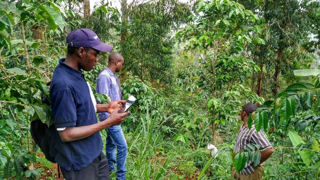
Use GPS data to measure crop areas. Manage lists of respondents. Seamlessly track key data points, from crop production to plot location. Powerful security keeps addresses, land holdings, and other sensitive data safe.
Why agricultural researchers choose SurveyCTO


Accurate measurements of farm plots are crucial to high-quality agricultural data
You know that measuring farm holdings and getting correct plot data can be tough. Farmers in development programs often have multiple plots across widespread areas, and they raise multiple crops in different locations.
Take your agricultural data collection to the next level with features for farm area measurement, list management, and standout security
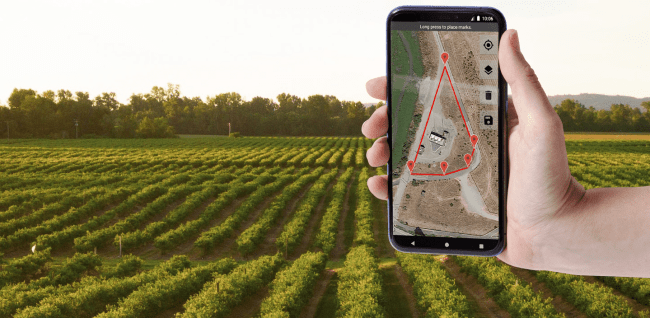
COLLECT GPS DATA
Easily measure farm plots
Geolocation data collection capabilities on your device can work online or offline to make agricultural data collection fast, simple, and accurate.
POWERFUL SECURITY
Protect sensitive data
Security options like end-to-end encryption, user roles with permissions, and SSO support keep your data safe.

INTEGRATED DATASETS
Simplified list management
Conveniently manage lists of respondents and program beneficiaries with our flexible server datasets, or track subjects over time in our case management datasets.
Other SurveyCTO features for high-quality data
Transform your agricultural development work with SurveyCTO, just like these leading organizations:


Go Beyond Basic Data Collection
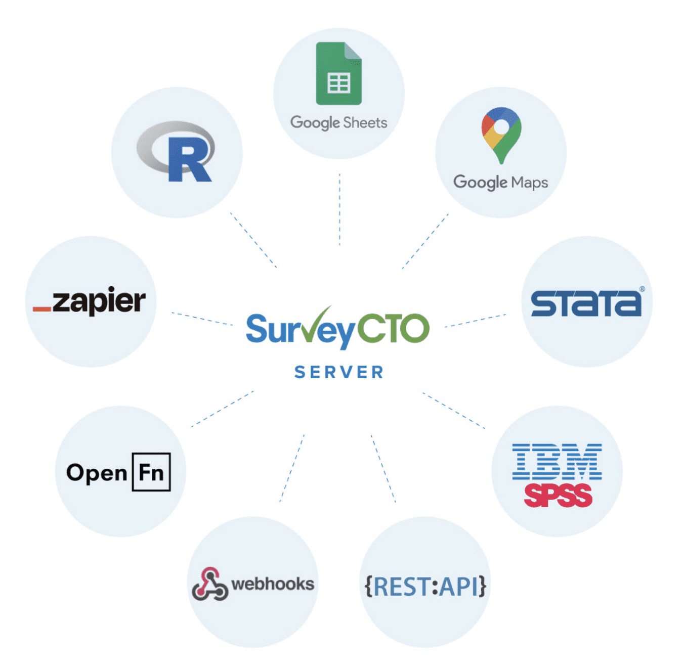
SurveyCTO integrates with the tools you already use
Simple integration with other platforms for scalable visualization, reporting and analysis
- Google Sheets
- Google Maps
- Stata
- IBM SPSS
- R
- Zapier
- Open FN
- Webhooks
- REST API
Integrations
